pacman::p_load(tidyverse, maps, countrycode, rnaturalearth, sf)16 Human geography lab: Annex 1
16.1 Administrative regions of Japan
- Load all necessary packages
- First we will download the available shapefile of Japan from following website:
https://data.humdata.org/dataset/cod-ab-jpn?
Save the downloaded data into your GIS project inside a folder name
data.We will read the shapefile and provide a name
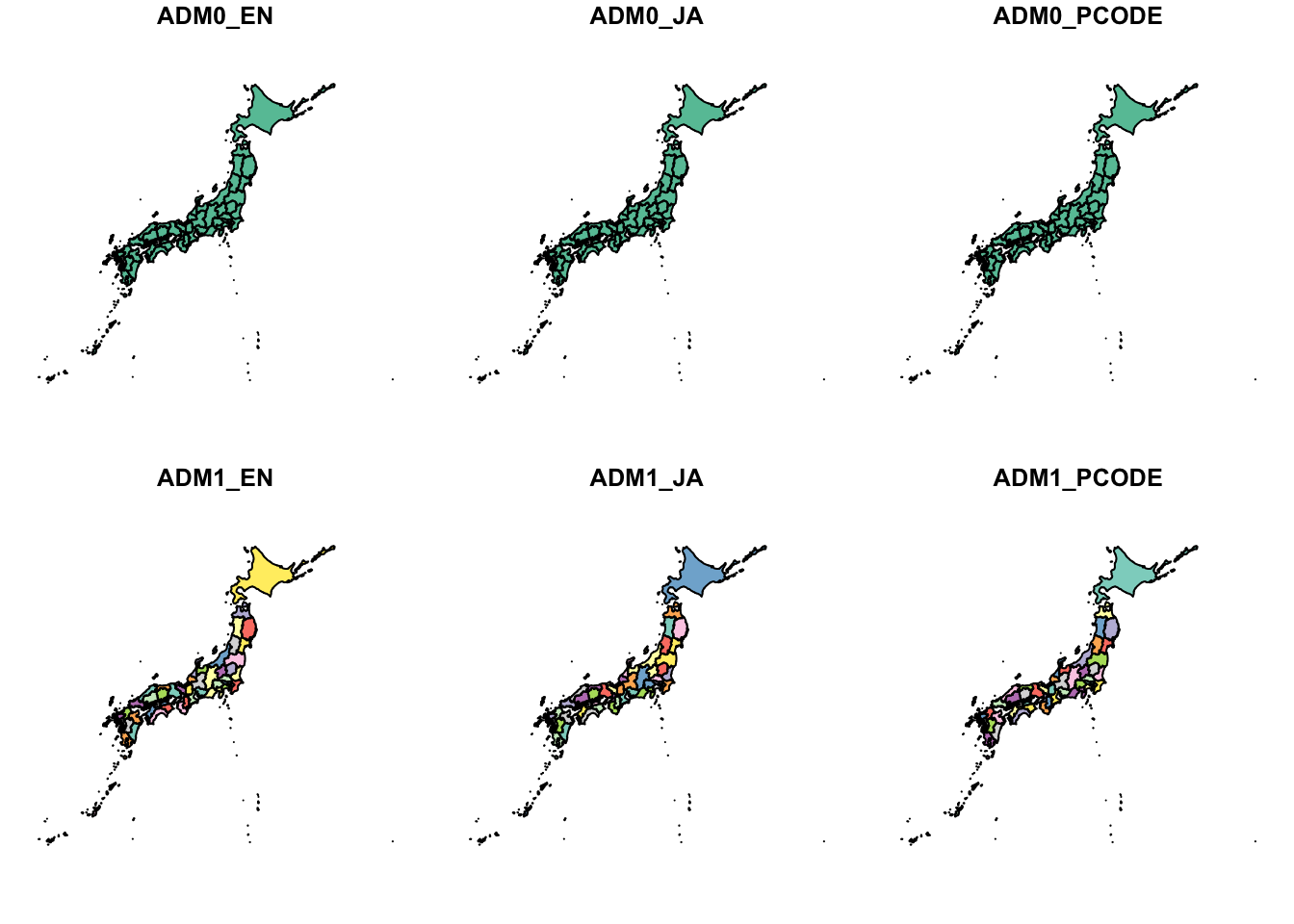
shapefile_jpn.We will plot the shapefile named
shapefile_jpn.
shapefile_jpn <- read_sf("data/jpn_shp_adm/jpn_admbnda_adm1_2019.shp")
plot(shapefile_jpn)